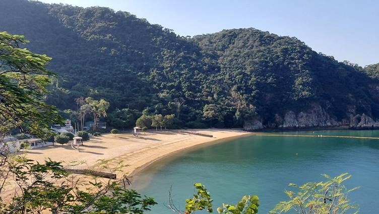
After another night of patchy sleep, I got up at 7:15am. While at Repulse Bay bus stop yesterday I noticed that there was a direct bus to North Point and having researched it found that the No. 63 left North Point at 8:04am. Perfect. It was another ‘hairy scary’ ride over the island which got me down to Repulse Bay for @ 8:45am. It was a glorious morning as I made my way round to South Bay, where it was already 26 degrees. Part of me fancied just staying on the beach for a while, But I knew I had a tough day ahead. The route out of South Bay was on a newly ‘connected’ section as evidenced by the new steps and signs.
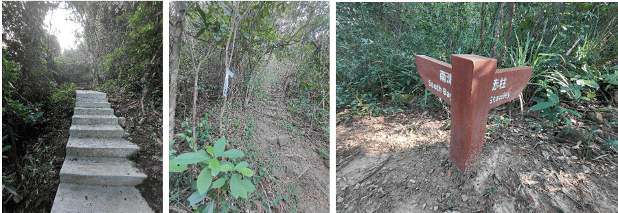
Today would be totally different to yeterdays urban run. As such I was in trail shoes and had a trekking stick not because of the terrain but because of the potential for wild dogs, particularly on a weekday when there are fewer people around. My fear of uncontrolled dogs stems from my time in Hong Kong when I vividly remember a few scary incidents, not least of which when I was chased off a trail and down a busy road by some violent mongrel with a deformed tail, drooling at the mouth. The only problem with bringing a stick that isn’t either attached to my body or my rucsac and may get left behind somewhere.
By the time I had got to Chung Hom Kok after after about 3km, I had seen more RTI signs that the whole of yesterday. The route took me through Ma Hang urban park and down into Stanley where I took advantage of an early coffee in Starbucks (as there were no obvious ‘independents’ around).

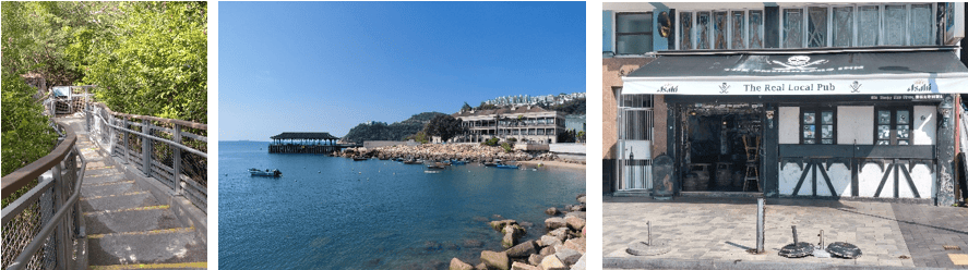
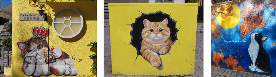
For me Stanley will always be associated with the Dragon Boat racing and practice with Atkins on Saturday afternoons (after work) in preparation for the annual festival Tung Ng festival in late June. This usually finished with a pint or two in the Smugglers, before taking the No. 6 bus home. Since I was last here it seems that cats have become the theme with loads of urban art.
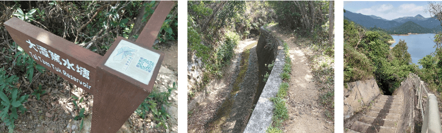
The Round the Island map on the website provided a general indication of the route, but left it up to me to sort out the detail (for which my map was essential). I thought that leaving Stanley would be easy until I ended up on a busy single carriageway winding road, with double-decker buses and concrete wagons and no pavement. Clearly this was the time to look for Plan B. I was targeting an inland catchwater but retracing my steps found no obvious connecting path, so my final option was to follow an unmarked uphill path alongside a watercourse which eventually led to the catchwater. On the whole catchwaters are good – flat, defined paths, with little chance of getting lost. However views can be limited and they can get boring, but I made good progress to Tai Tam Tuk reservoir.
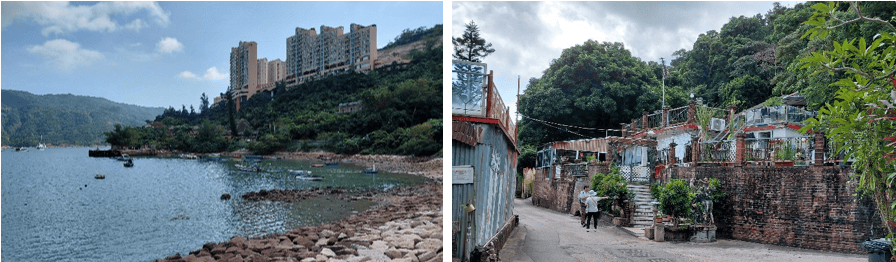
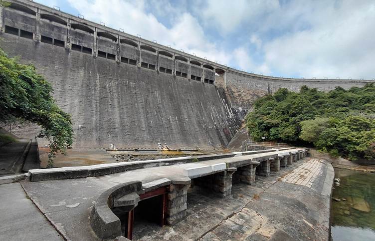
After a long descent on road back to sea level, I soon found myself alongside Tai Tam harbour. Passing through semi-derelict settlement I soon came out at Tai Tam Reservoir Dam, built in 1917
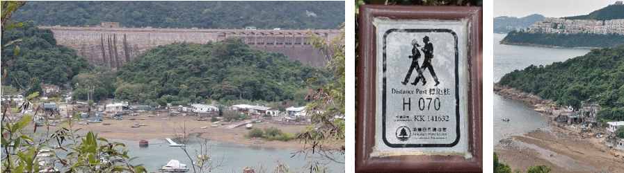
From here the route joined the 50km Hong Kong trail (which links the Peak to Big Wave Bay) on a catchwater. All the major trails in Hong Kong are marked with 0.5 km distance markers, which are reassurance that you’re on the right route.
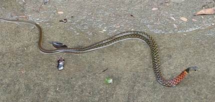
I followed the catchwater round for about 7km accompanied by a variety of butterflies, which are great to see, but nearly impossible to photograph. I also kept my eyes open for snakes in shady areas of the channel and came across a Red Necked Keelback. A Google search advises that it flattens it’s neck when disturbed and has highly toxic venom, which can cause fatalities. I also saw an olive coloured snake scurrying through the undergrowth on the opposite side of the channel, possibly a Bamboo Viper, a common snake with toxic venom.
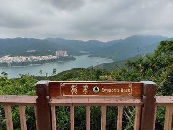
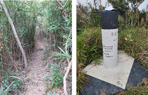
After the catchwater the route led up onto Dragon’s Back. At first I inadvertently followed a slightly lower path, with good views before joining an enclosed footpath on the main trail up to Mount Collinson (348mAoD). The descent on an unmarked path, was steep and tricky in places (with rope supports) and unexpectedly brought me out at Pottinger’s Gap. From here it was a 4 km descent into Sui Sai Wan and urban civilisation.
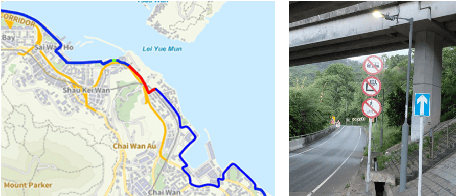
The route round the cargo handling basin into Hang Fa Cheun and on to Shau Kei Wan was largely forgettable, especially as the skies had darkened and it had started to rain. I remember this as I was sheltering a under an Expressway Bridge at the start of a red, ‘unconnected’ section of the route that I had forgotten about / ignored. With no other obvious routes, I retraced my steps and caught a £3 taxi to the Hong Kong Museum of the War Resistance and Coastal Defence (for some reason it didn’t look too popular) to where the blue route re-started.
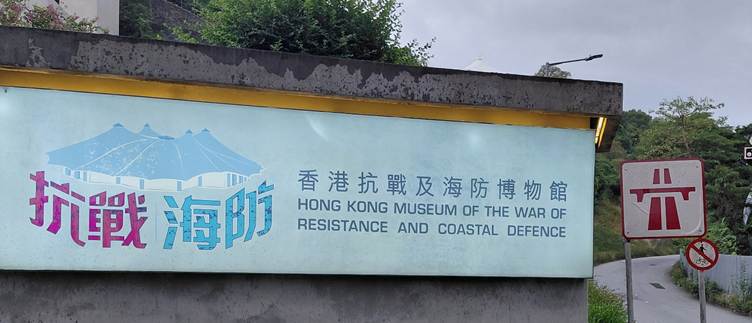
It was a pleasant run round the Shau Kei Wan Typhoon Shelter before cutting through a bus station to Sai Wan Ho for a familiar run back to North Point.
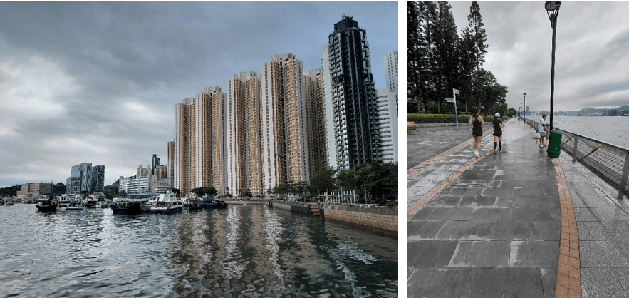
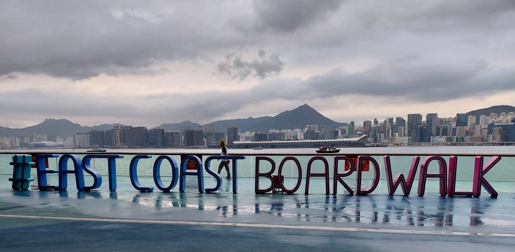
I had covered 22.5 miles but that didn’t really tell the full story as it had been a tough day (route-finding, terrain, weather, (lack of) food). Thankfully I hadn’t needed to use my trekking stick, probably as I later found out because most wild dogs have been banished / removed / exterminated from Hong Kong Island (but they are still prevalent in the New Territories and have been known to kill people). I celebrated with a beer at the start / finish.
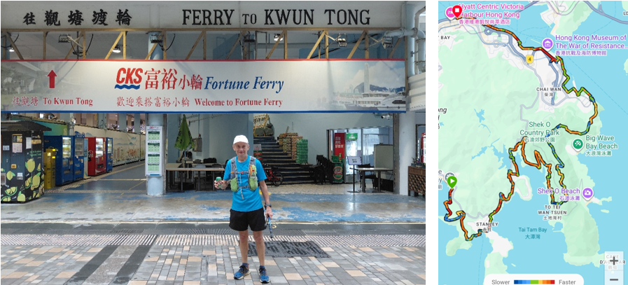
Overall it had been a great 2-day trip exploring previously unknown areas of Hong Kong and returning to many favourites. I had seen a few ‘blue’ dots near Dragon’s Back on Day 2 and after experiencing the rugged steps in humid conditions I have even more respect for people who even attempt The Four Trails Film. There are hard climbs and then hard Hong Kong climbs and so it’s a definite NO from me ! However, I will plan another trip for next year.

