Today was the big one, the ‘Queen’s stage’ of my tour with 75 miles and over 2,600m of climbing. I was worried that I had bitten off too much, especially given my tired legs from the previous 4 days. It needed careful planning and that started with setting off early to get some miles in during cooler conditions. I was away by 6:40am. The light was perfect for photos. It was 16 degrees.
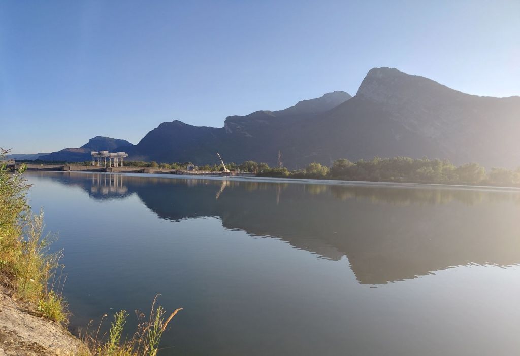
My route retraced my steps along the cycle path to Grenoble (with the exception of the 2km of stoney overgrown track). No navigation was really needed as there was a constant flow of locals cycling out to Bourg d’Oisans to see today’s stage finish on Alpe d’Huez. In the early planning seeing the race there was an option for me before continuing to the Col du Galibier, but had been discounted on closer inspection of times and distance. There were also reports that the Col du Galibier would be closed to traffic from 6pm. And knowing how strict ‘le gendarmerie’ were yesterday I couldn’t take any chances.
Just past Pont de Claix, another couple of cyclists passed me. Five minutes later I caught them up waiting for pedestrian lights across a busy main road to change. My legs were tired and with a few saddle issues it gave me a chance to ‘follow their wheel’ (like a leech) and get some fast miles in. Chatting to them they were from Australia and were over in France for a month to watch the TdF. Further evidence of the international popularity of the race. After about 10 miles I let them go on as I was struggling. I was also hoping to stop for a coffee in Gavet, but despite having a swimming pool, a school and a large EDF plant, it didn’t have a cafe / bar. More evidence of small communities losing their facilities.
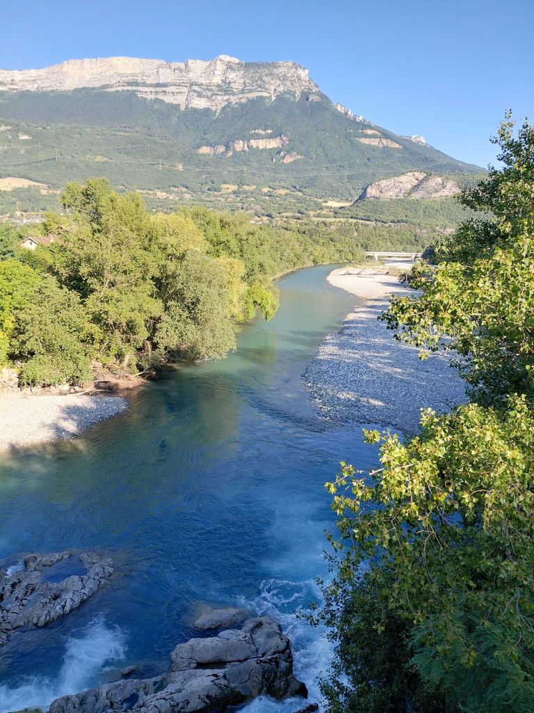
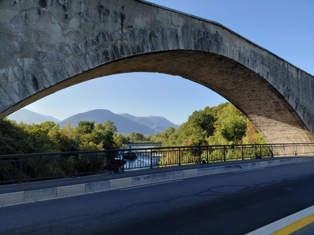
Approaching Bourg d’Oisans on the D1091 there were loads of cars parked and cyclists assembling their bikes for a potter up to Alpe d’Huez. No wonder they all came speeding past me. From about 3 miles out parked cars lined each side of the road as pedestrians walked up to the climb. I arrived in Bourg d’Oisans @12noon after 44 miles and about 500m of climb. It’s a cycling Mecca and the town embraces that status.
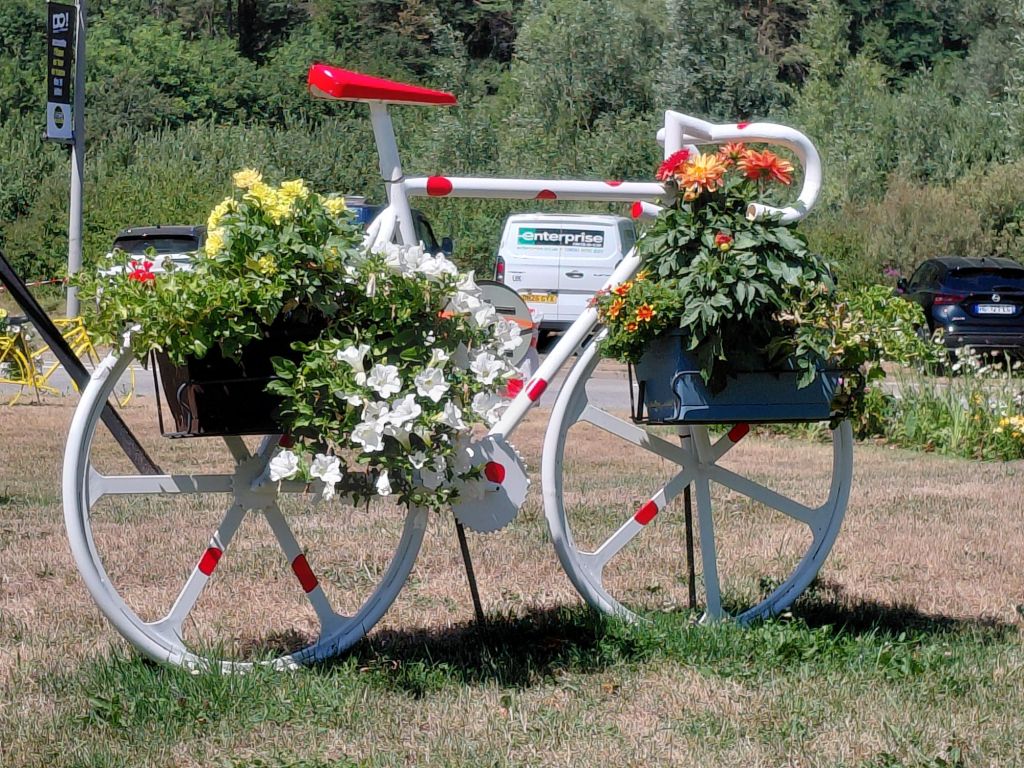
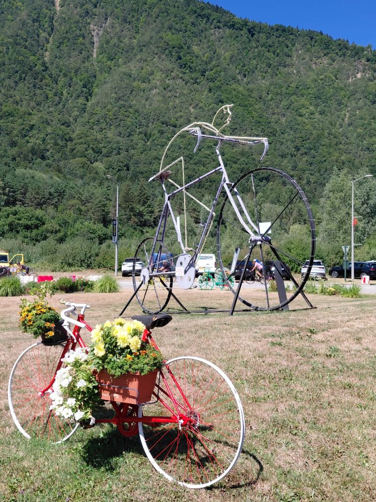
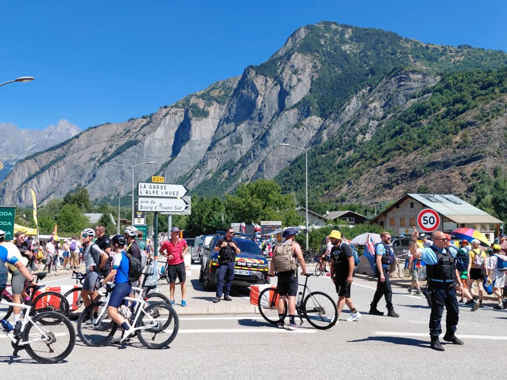
I made my way around to the turn off for the Alpe D’Huez climb. There was something up as cyclists were wheeing their bikes across a field to the climb. That’s right, the climb had been closed to cyclists by ‘le gendarmerie’. Indeed reaching the island it was chaos. In fact everywhere was chaos; roads closed, people everywhere, ‘gendarmie’ cars with sirens blazing.
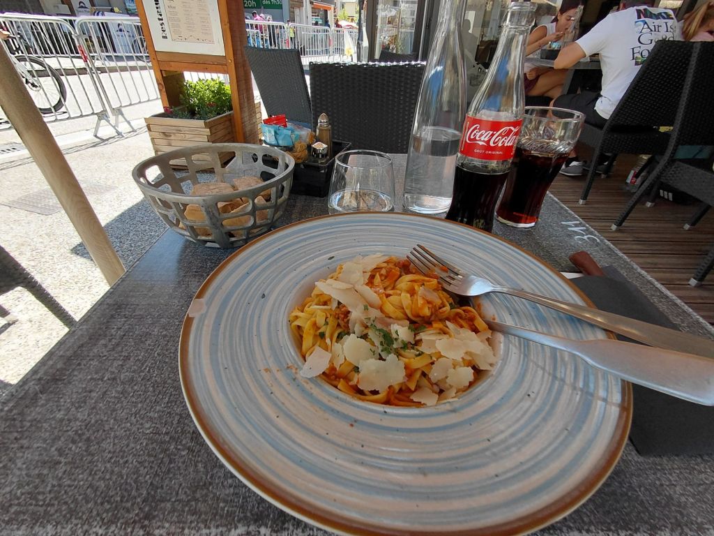
I had planned to have a good stop in Bourg d’Oisans before the final 30 uphill miles and found an Italian for a bowl of pasta which went down well (it was bigger and more substantial than it looks in the photo).
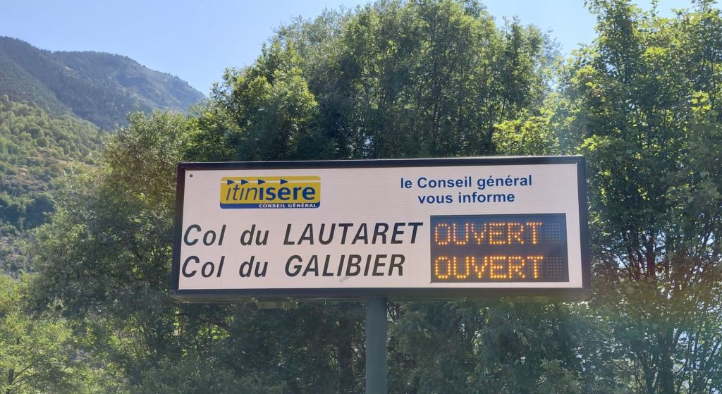
But it was soon 1:20pm and I had work to do, with 4 times the climb I had done already. I left Bourg d’Oisans in the knowledge that the Lauteret and the Galibier were indeed open and passed another 3 miles of parked cars. The road then turned left to start the 20 mile ascent of the Col du Lauteret.
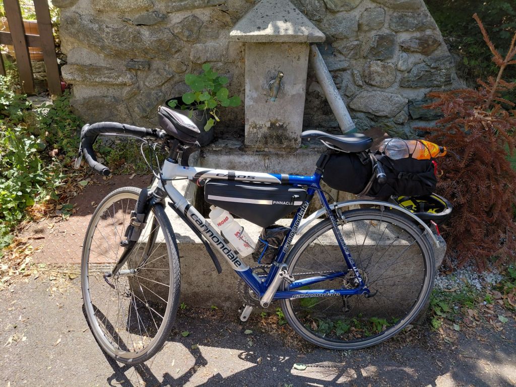
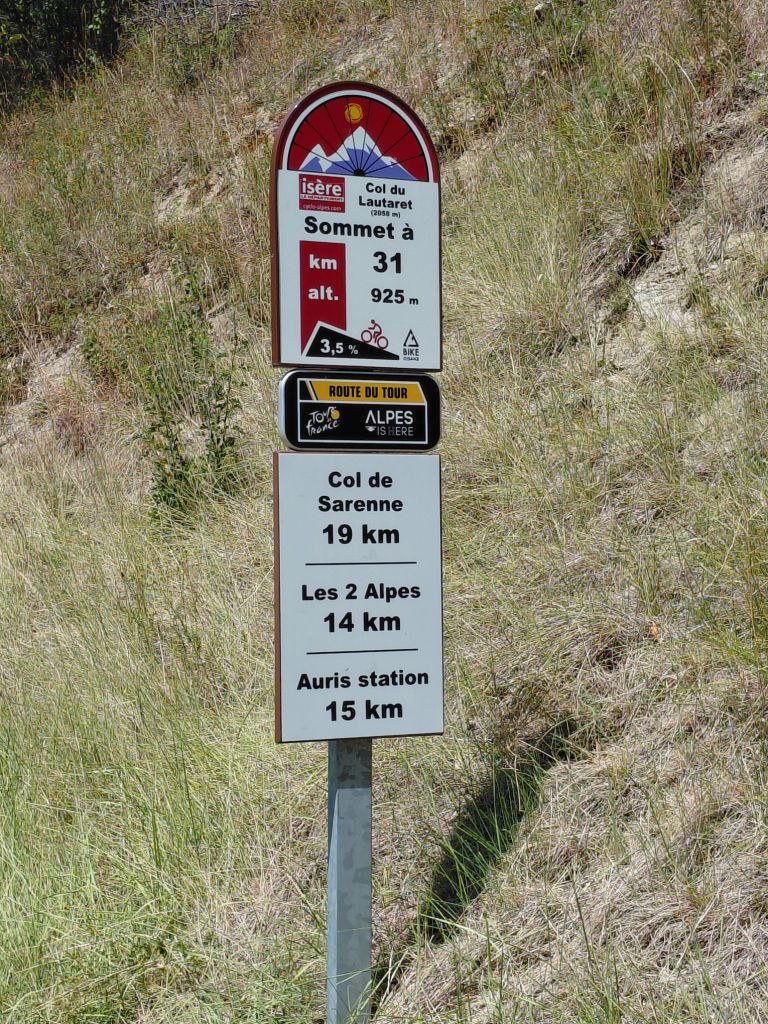
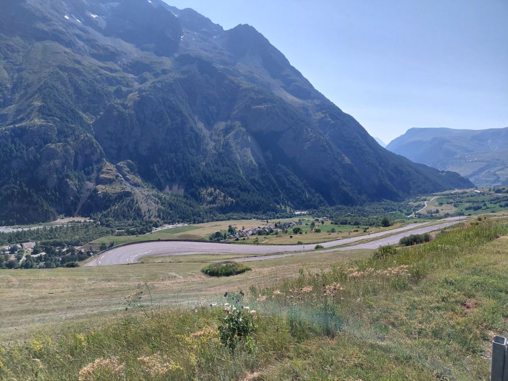
Having done it before, I recalled that it wasn’t a hard climb and indeed after about half an hour, there was some descent down to a tunnel. However, that just meant that there was more climbing to regain the altitude lost so it was small consolation. In the end I still need to climb up to 2,057m.
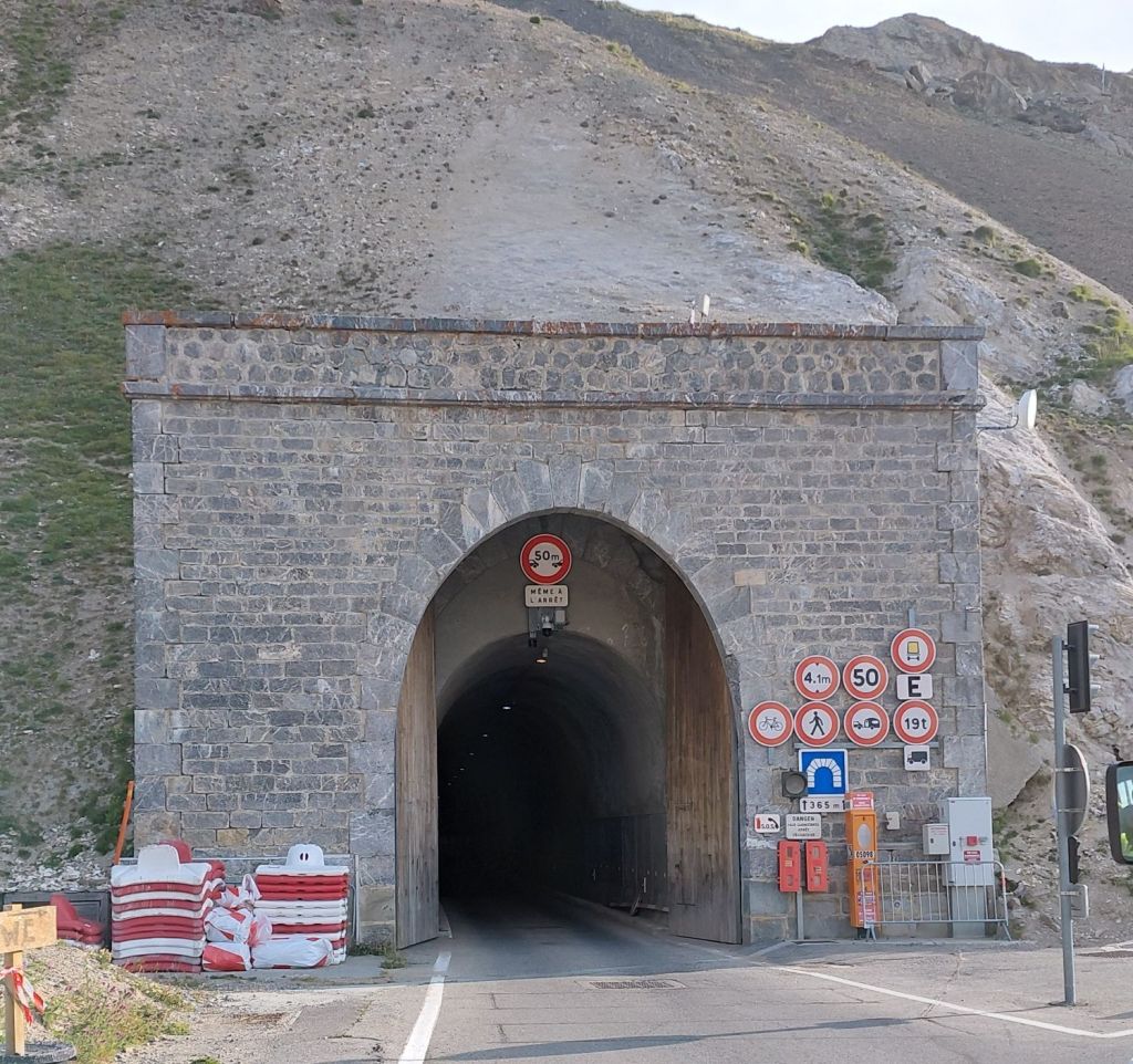
The tunnels were interesting and a welcome cooling break from the sun. I soon lost count of how many there were, but the longest was 680m and lights were essential.
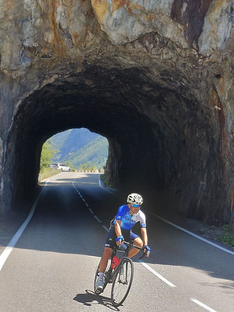
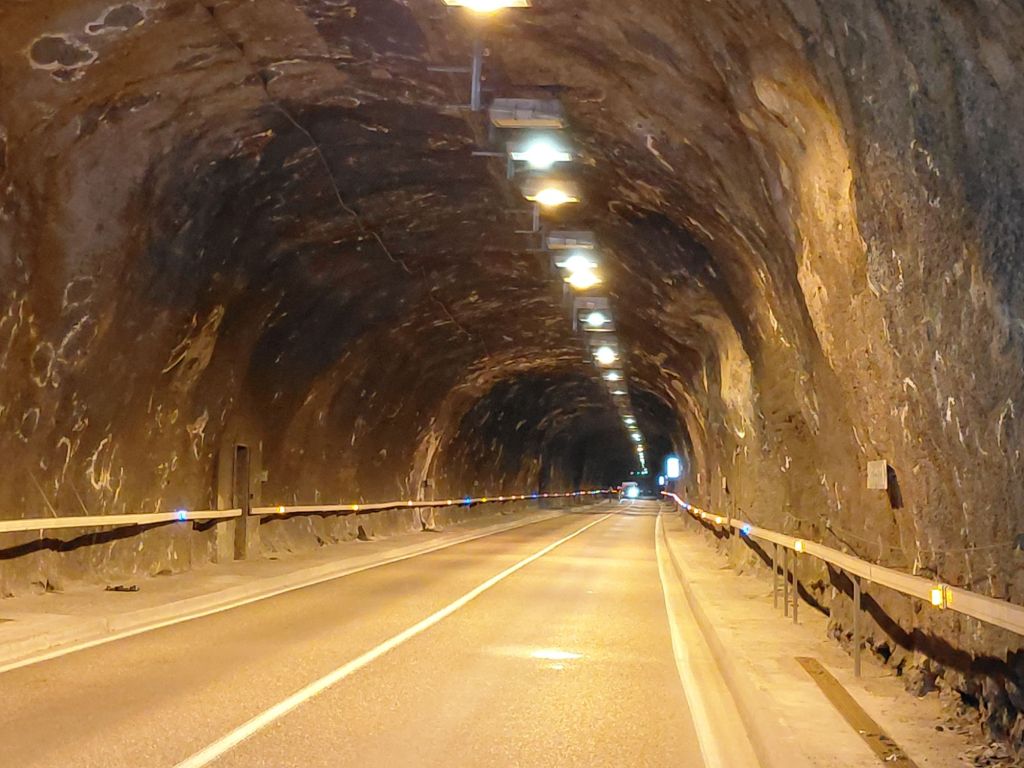
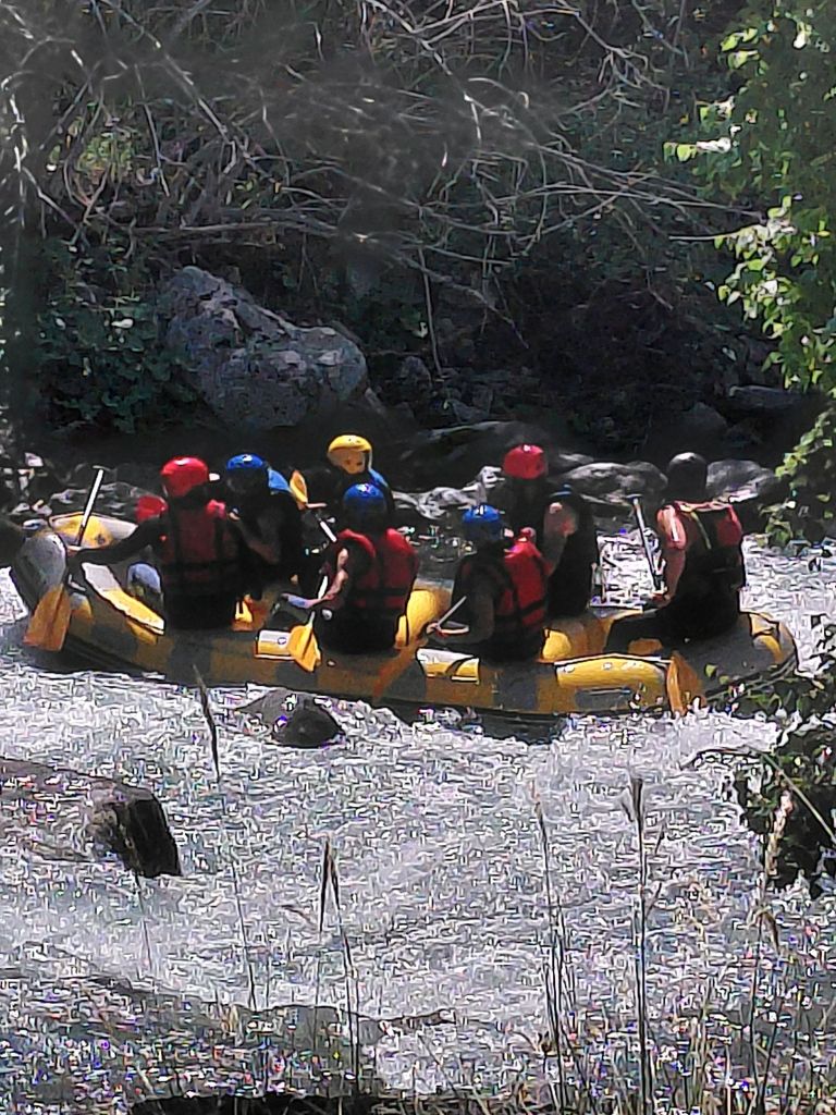
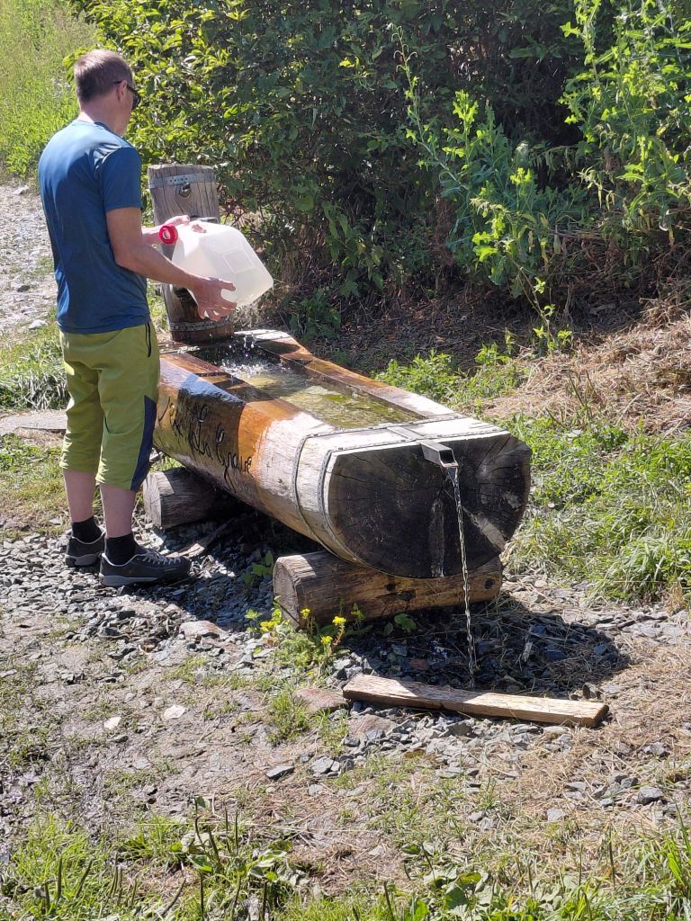
But I was counting the kilometre markers, very intently. My stops became increasingly more frequent. The wind was variable and the sun relentless. It was hard work, but luckily there were a few distractions and a few water points.
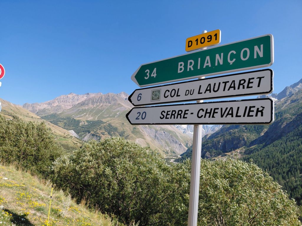
I made it up to the Col du Lauteret for @5:30pm, just within the 6pm cut-off. I stopped for coke and cake to celebrate and provide some sustinence for the final 8km up the Galibier.
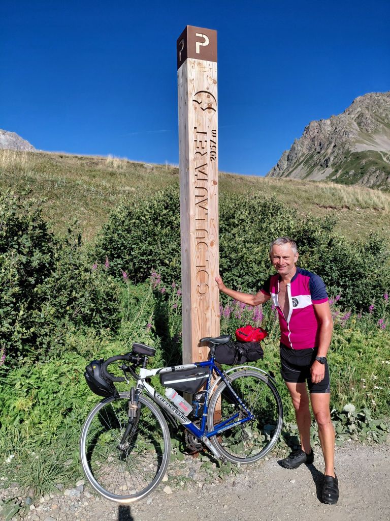
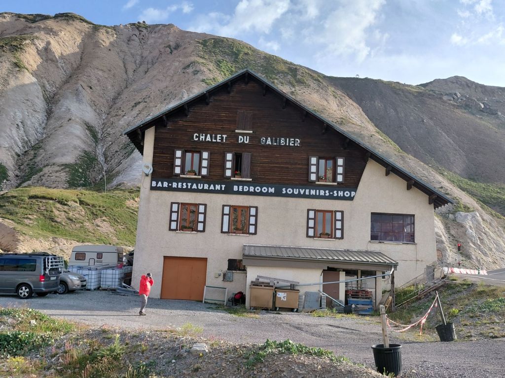
Above 2,000m elevation, the oxygen thins more quickly which was a good reason for taking it easy up the climb. After the first mile I stopped briefly and then every half mile for drink / photo break / rest. It was needed. That strategy eventually got me up to the Refuge, which was 1km from the summit so I had the difficult decision whether to check in and complete it tomorrow, or carry on and bag the summit. Those who know me well, will know that there’s no decision. And so I carried on up the steepest part of the entire climb (up to 12 %) and arrived as the sun was setting.
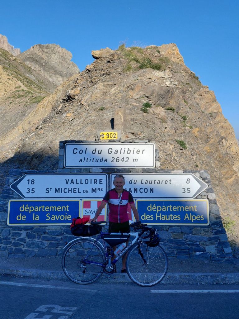
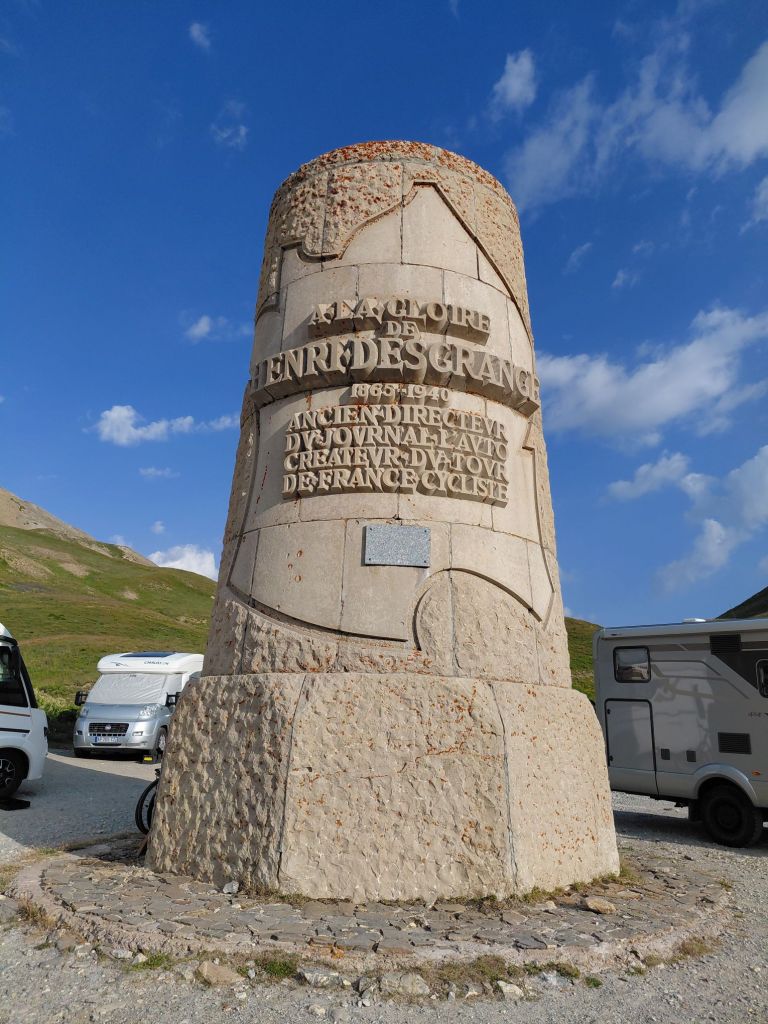
The Col du Galibier at an elevation of 2,642m is the ninth highest paved road in the Alps. It was first used in the Tour de France in 1911. Until 1976 a tunnel at 2,556 mAoD was the main route over the pass when it was closed for restoration and the current road was constructed over the top. On my way up I had passed a monument to Henri Desgrange, instigator and first director of the Tour de France. The Souvenir Henri Desgrange is awarded to the first rider across the summit of the highest mountain in each year’s tour.
It had been a brutal day. For the last 30 miles I had 4 thoughts 1) there is no plan B; 2) pain is temporary, failure is for life (unfortunately associated with Lance Armstrong); 3) I probably wouldn’t be doing it again; and finally 4) the army cheerleader at mile 22 of Chicago marathon shouting out “if you can’t run then walk, if you can’t walk then crawl, but whatever you do get to the finish line.” The final numbers were 75 miles, 2,631m of ascent and 3,600 calories burnt.
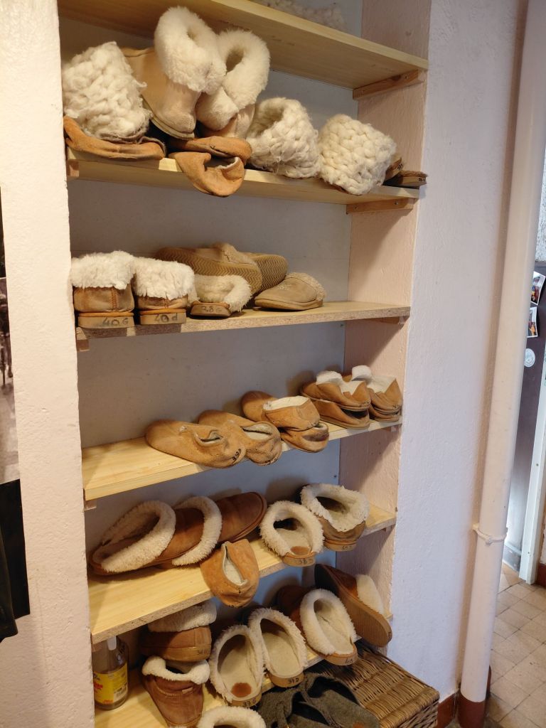
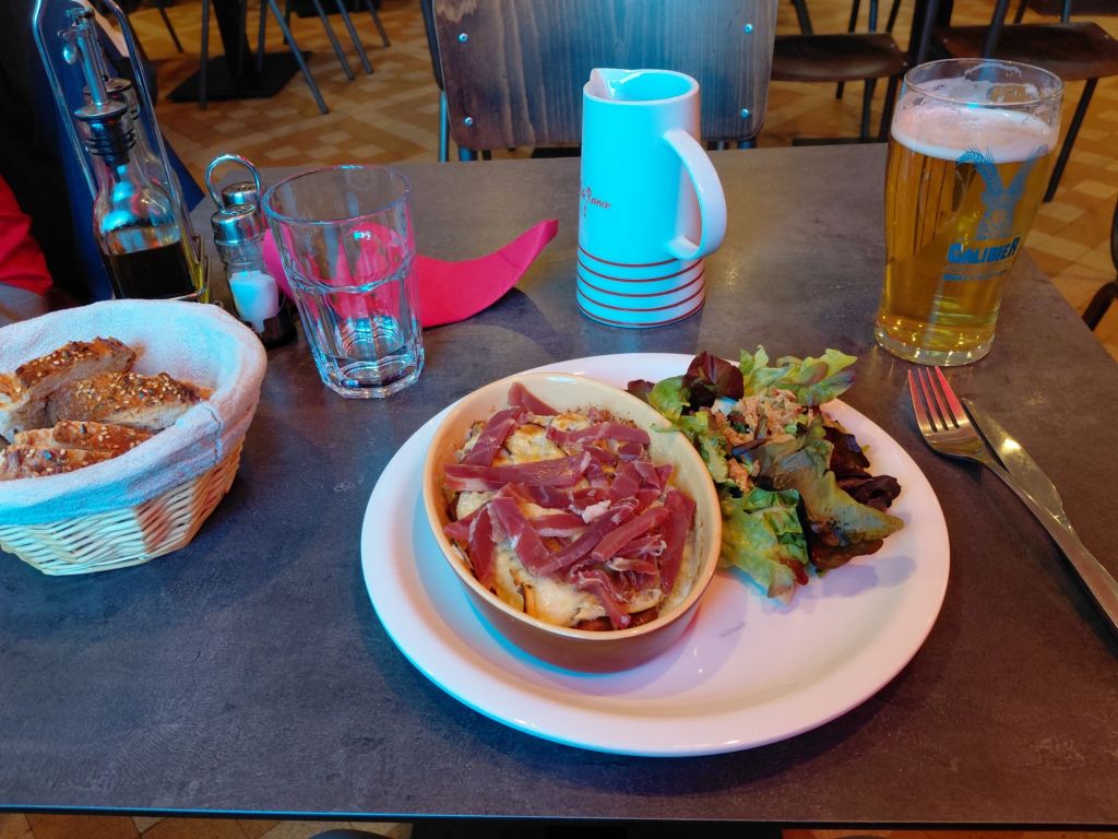
Back at the Refuge I was made very welcome and even invited / asked to wear a pair of sheepskin slippers whilst inside. After a quick shower I had the set menu while listening how the day’s stage had unfolded from an American couple (another unbelievable win from Pogacar).
This had been the main aim of the trip and it was great to have completed it. All downhill (to Geneva) from here !

